
Manaslu Circuit Trek: A Guide to Nepal's Remote Himalayan Circuit
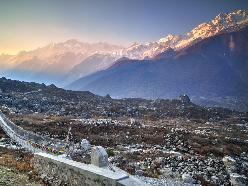
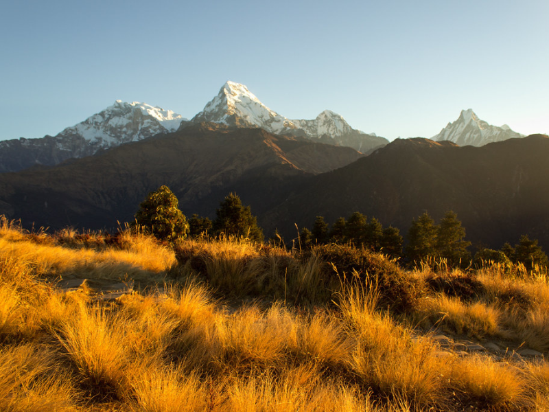
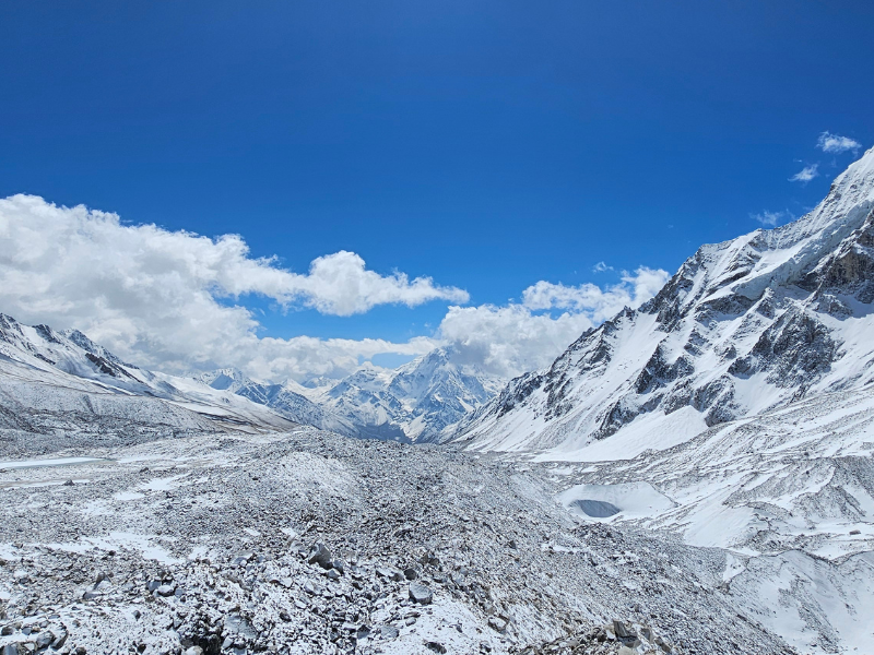
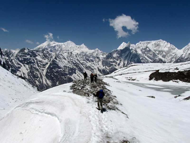
That moment you crest Larkya La Pass at 5,106 meters hits you hard. Wind cuts through every layer, snow crunches under your boots, prayer flags crack like whips, and suddenly the horizon explodes with peaks, Himlung sharp in the north, Cheo Himal and Kang Guru flanking, Annapurna II rising huge to the south, and Manaslu itself dominating everything at 8,163 meters, the eighth-highest mountain on Earth.
Your lungs burn from the thin air, legs feel like lead after the long moraine slog, but standing there you feel small in the best way. The descent ahead drops you back into greener valleys, but that high saddle stays etched in your mind: raw, cold, earned. Unlike the packed trails of Everest or Annapurna, Manaslu gives you long stretches of quiet, hours with only yak bells, distant avalanches rumbling off the flanks, or a local herder nodding as he passes.
This is Nepal's restricted-area trek. You need special permits, a mandatory guide, and no solo wandering allowed. That setup keeps the commercial circus away, no endless teahouse chains, no constant helicopter noise, just authentic villages, real daily life, and a sense you're seeing something fewer people get to experience.
The full circuit loops around Manaslu, starting low in the Budhi Gandaki gorge, climbing through Tibetan-influenced settlements, crossing the high pass, and finishing on the Annapurna side. It's longer and higher than Poon Hill, Langtang, or Ghorepani, real high-altitude exposure, longer days, bigger elevation swings, but the payoff is massive: subtropical river gorges to alpine deserts, ancient gompas, steaming hot springs, yak pastures, and that deep satisfaction of closing a true Himalayan circle.
If you're scrolling packages right now, Gorkha International Travel's 16-day Manaslu Circuit option is built for safety and steady progress. Priced from about $1,316 per person (groups drop it to $1,199–$1,250, all-inclusive around $1,250), it includes a 3-star hotel in Kathmandu with breakfast, full-board teahouse/lodge stays on trek (breakfast, lunch, dinner every day), daily fresh fruit, all road transfers (Kathmandu to Machha Khola jeep, Dharapani back to Kathmandu), restricted-area permit, Manaslu Conservation Area Permit (MCAP), Annapurna Conservation Area Permit (ACAP), TIMS card, licensed English-speaking guide, one porter per two trekkers, sleeping bag, staff insurance, free company t-shirts, trek map, farewell dinner in Kathmandu, and all taxes.
The focus is on handling the paperwork, transport, and support so you can concentrate on the trail, the mountain views, and those long evenings around the stove swapping stories with your group.
Why Manaslu Circuit Pulls People In
Manaslu doesn't shout for attention, it earns it slowly. The trail hugs the Budhi Gandaki River for days, through narrow gorges where waterfalls pound down sheer cliffs, suspension bridges swing high above milky turquoise water, and occasional hot springs bubble up at places like Tatopani (not the famous one, different spot). Lower sections feel almost tropical: banana plants, rice paddies carved into hillsides, monkeys watching from trees, kids shouting "Namaste!" as you pass.
Climb higher and the world changes, dense pine and rhododendron forests give way to open yak pastures, stone villages with flat-roofed Tibetan-style houses, and finally barren moraines near the pass.
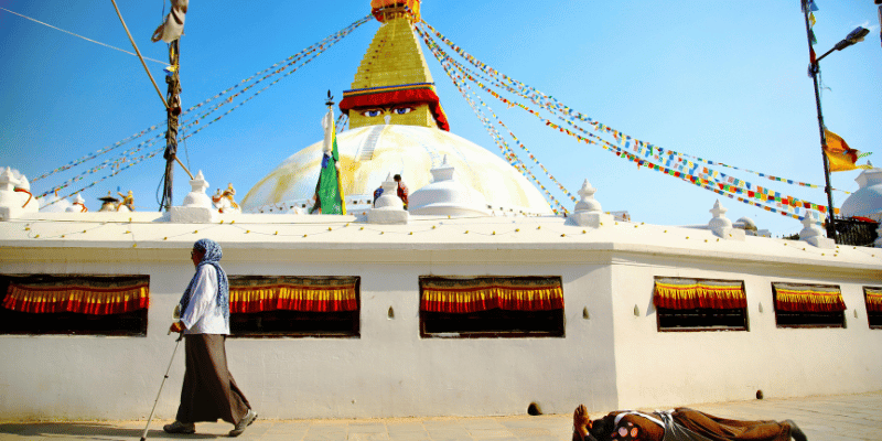
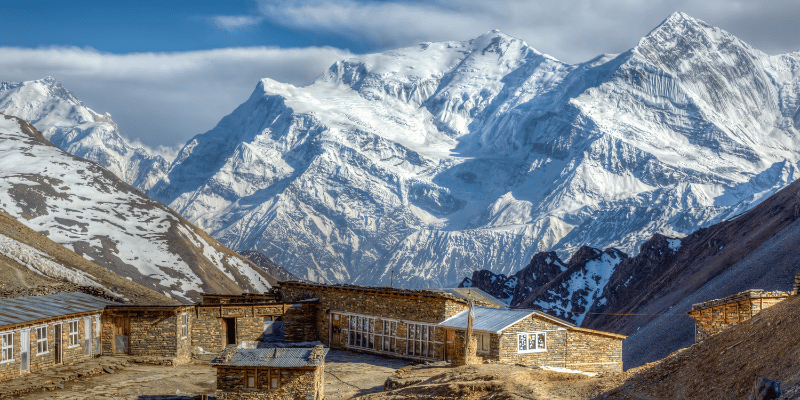
The culture runs deep. Many villages trace roots to Tibet, mani walls etched with mantras, chortens painted white and red, gompas where monks chant in low tones. Lho has a big gompa and first clear views of Manaslu. Sama Gaon (also called Samagaon) sits at 3,530m with wide views of the mountain; you can wander to Pungyen Monastery or hike up to Birendra Lake, a small glacial pool reflecting the peaks. Samdo, at 3,875m, feels like a border outpost, yak caravans still head north to Tibet, locals speak a dialect closer to Tibetan, and the vibe is frontier-like. Guides often share personal connections: "My uncle lives in that house," or stories of old salt trade routes over the passes.
The wildlife keeps things interesting too. Blue sheep (bharal) perch on rocky slopes, Himalayan tahr scramble away, Danphe pheasants flash colors across paths. If you're really observant, snow leopard tracks show up in fresh snow near the pass, rare, but it happens. Fewer trekkers mean the sounds stand out: river roar below, wind through prayer flags, occasional rockfall or avalanche echoes off Manaslu's face. It's peaceful in a way busier trails aren't, you have time to sit, breathe, and just be in the mountains.
Compared to the classic Annapurna Circuit (which Manaslu used to link into before roads cut through), this feels wilder: less vehicle traffic, more isolation, stricter rules that preserve the feel of a traditional route. It's tougher, higher pass, longer days, real altitude, but the rewards stack up: diverse scenery, rich culture, solitude, and the quiet pride of finishing a circuit most people only read about.
Best Time to Go: Seasons That Make It Work
Weather dictates everything here, and for 2026 the smart windows remain spring (March–May) and autumn (September–November). These dry periods deliver stable skies, clear peak views, and temperatures you can handle with good layers.
Spring wakes the valley up. Rhododendrons bloom heavily in April–May, painting forests in vivid pink, red, and white, especially stunning around Namrung to Lho. Days warm to 5–15°C at mid-altitudes, nights drop cold higher up. Visibility can get hazy from dust or pollen some afternoons, but mornings often stay sharp. Crowds are lighter than autumn, and restricted-area permit fees sometimes dip in shoulder months. If you love flowers and greener landscapes, spring delivers.
Autumn is the classic high-visibility season. Monsoon rains wash the air clean, leaving deep blue skies and razor-sharp outlines on every peak. October frequently hits perfect, crisp mornings (0–10°C at higher camps), minimal wind, golden sunrise light that makes Manaslu glow. November holds strong but cools quickly; pre-dawn at Dharamsala or Larkya La can feel brutally cold, with frost on tents. This is peak time for photos and reliable weather, most groups aim here.
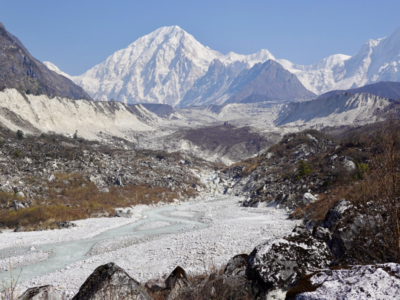
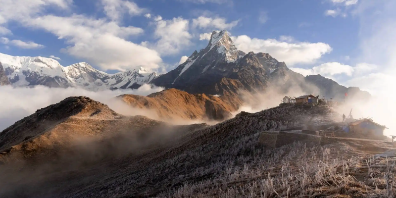
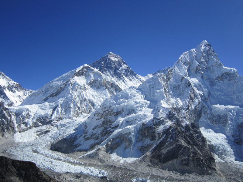
Scenery Seen During The Circuit (Source: Flickr)
Monsoon (June–August) is a no-go: relentless rain, frequent landslides blocking trails and roads, leeches everywhere, swollen rivers, and mountains swallowed by cloud. Winter (December–February) appeals to hardcore types, snow transforms the landscape into something dramatic, with white peaks and frozen streams, but nights plummet to -15°C or lower at high camps, trails ice over, avalanche danger rises, and many teahouses shut down.
For most people planning 2026, late March–early May or late September–early November offer the best mix of safety, scenery, and comfort.
How Tough Is It? Difficulty and Prep
This trek rates moderately challenging to strenuous, no sugarcoating. Total distance roughly 160–180 km, most days 6–9 hours of steady walking, with significant ups and downs. The pass day stands out as the hardest: 4 a.m. start from Dharamsala, hours of grinding up loose moraine and snow to Larkya La, then a long, knee-pounding rocky descent to Bimthang. Altitude plays the biggest role, several nights above 3,500m, high camp at 4,460m, pass at 5,106m.
No ropes or crampons needed (unless unusual early snow), but you want strong endurance, leg power for steep sections, and mental toughness for cold winds and thin air. Altitude sickness risk is genuine above 3,000m, headaches, nausea, fatigue can slow you down fast.
To prep properly, give yourself 3–4 months:
- Build endurance with long hikes (10–15 km) carrying 8–12 kg pack, ideally on hills or stairs.
- Cardio sessions 4–5 times a week: brisk walking, running, cycling, stairmaster, aim to sustain effort for hours.
- Strength work: squats, lunges, step-ups, core exercises for balance on rocky terrain.
- Simulate tough days: back-to-back long walks or hikes to mimic multi-day fatigue.
- Test gear in cold, wet, or windy conditions, break in boots, layer properly, practice using poles on descents.
Many people make it with consistent effort; guides control pace ("slow and steady"), porters carry the bulk, and built-in rest days help. Pay attention to your body, pushing through bad symptoms rarely ends well.
Altitude: The Big Challenge and How to Beat It
Acute Mountain Sickness (AMS) is the single biggest hurdle. Symptoms start above 3,000m: persistent headache, loss of appetite, nausea, dizziness, poor sleep. Mild cases improve with rest; severe (confusion, vomiting, fluid in lungs/brain) demand immediate descent.
The itinerary is smart about it: full acclimatization days at Sama Gaon (side hikes to higher viewpoints then sleep low) and Samdo (optional climb to ~4,600–5,000m for extra adaptation), plus gradual gains overall.
Practical habits that help:
- Climb no more than ~500m sleeping elevation per day above 3,000m.
- Drink 4–5 liters of water daily, dehydration makes everything worse.
- Eat carbs aggressively (dal bhat, pasta, porridge) even if food tastes off.
- Avoid alcohol, tobacco, heavy caffeine above Namrung, they worsen symptoms.
- Consider Diamox (acetazolamide) preventive, consult doctor; typical dose 125–250mg twice daily, start day before high zones.
- Check in with yourself twice daily: mild headache? Hydrate, rest. Worsening? Tell guide, descend.
Guides are trained to spot issues early, carry supplemental oxygen, and coordinate helicopter evac if needed (insurance must cover it). The route has villages and possible rescue points throughout, safer than some remote treks.
The 16-Day Itinerary Breakdown
Gorkha International Travel uses a proven, conservative schedule:
- Day 1: Arrive Kathmandu (1,400m). Airport pickup, hotel check-in, welcome briefing.
- Day 2: Kathmandu, sightseeing (Pashupatinath, Boudhanath, Durbar Square) and permit processing.
- Day 3: Drive Kathmandu to Machha Khola/Soti Khola (900m, 9–10 hrs). Long but scenic jeep ride through hills and gorges.
- Day 4: Machha Khola to Jagat (1,290m, 6–7 hrs). River trails, waterfalls, first hot springs.
- Day 5: Jagat to Deng/Pewa (1,865m, 6–7 hrs). Suspension bridges, Gurung settlements.
- Day 6: Deng to Namrung (2,630m, 6–7 hrs). Enter restricted zone, forests, mani walls appear.
- Day 7: Namrung to Lho (3,180m, 5–6 hrs). First big Manaslu views, optional short side trip to Pungen Glacier.
- Day 8: Lho to Sama Gaon (3,530m, 4–5 hrs). Wide valley, Shyala viewpoint, arrive early for rest.
- Day 9: Acclimatization in Sama Gaon. Rest or day hikes to Pungyen Monastery/Birendra Lake.
- Day 10: Sama Gaon to Samdo (3,875m, 5–6 hrs). Open pastures, Tibetan-style village.
- Day 11: Acclimatization in Samdo. Optional hike toward Tibet border for extra altitude gain.
- Day 12: Samdo to Dharamsala/Larkya Phedi (4,460m, 4–5 hrs). Short day to high camp, rest early.
- Day 13: Dharamsala to Bimthang via Larkya La Pass (5,106m, 7–9 hrs). Early start, pass crossing, long descent.
- Day 14: Bimthang to Dharapani (1,860m, 7–8 hrs). Steep drop through birch and pine, re-enter Annapurna area.
- Day 15: Drive Dharapani to Kathmandu (7–9 hrs jeep/bus). Long road day, farewell dinner.
- Day 16: Departure from Kathmandu.
Extra buffer built in for weather delays, altitude issues, or road conditions.
Trekking Route (Source: Wiki Commons)
Packing Smart: What Actually Matters
Porters handle 10–15 kg per person, pack efficiently.
Key items:
- Sturdy, broken-in trekking boots (waterproof, good grip for snow/moraine).
- Layering system: moisture-wicking base, insulating fleece/softshell, warm down jacket (essential at pass), fully waterproof Gore-Tex jacket and pants.
- Trekking poles (huge help on loose rock and descents).
- Sleeping bag rated -15°C or better (provided by Gorkha).
- Headlamp + extra batteries, reusable water bottles + purification tablets/filter.
- High-SPF sunscreen, lip balm, glacier sunglasses (UV intense at altitude).
- Snacks (energy bars, nuts, chocolate) for low-appetite days.
- Personal meds: Diamox if using, ibuprofen, blister plasters, rehydration salts, any prescriptions.
- Power bank, charging scarce and expensive higher up.
Teahouses vary: lower ones comfortable with attached baths, higher ones basic twin rooms, shared squat toilets, wood stoves in dining areas.
Costs, Permits, and Guided Value
Restricted Area Permit varies seasonally (higher Sept–Nov), MCAP/ACAP ~$30 each, TIMS ~$20. Total permits often $100–180 depending on timing.
DIY is complicated (guide required by law); packages like Gorkha's $1,316 base (groups lower) bundle meals, accommodation, transport, permits, staff, no surprises or haggling. Tips separate (budget $5–10 per day per person for guide/porter). Extras like hot showers or drinks add $50–150 total.
Guided support shines here: permit handling, pace management, cultural insights, safety net for altitude/illness.
Bottom Line: Worth the Effort?
For sure, if you're after a genuine, less-traveled Himalayan circuit with a high pass, deep culture, and solitude that bigger routes can't match. It's demanding, but finishing feels profound.
Reach out to Gorkha International Travel for 2026 dates, group options, or questions.


Leave a Comment